UnspecifiedExplore itLearning & data · Maps & data stories
Spin a 3-D Earth and switch on live rivers, quakes, wildfires, aurora, hurricanes and tornadoes from federal data
Biosphere
Web ·
by Myles
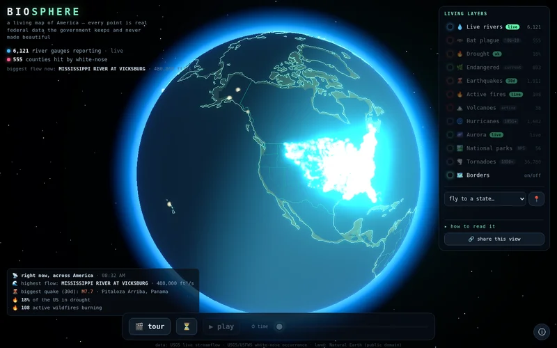
A rotatable globe layers live USGS river gauges, recent earthquakes, active fires and the aurora forecast with historical hurricane tracks, tornadoes and bat-plague spread. You can fly to a state, play a timeline, or take a guided tour.
Notes
Live river layer can take up to a minute to load (showed 0 gauges for ~45s in headless Chrome, then 6,100+). Needs WebGL. GitHub Pages hosted; first-name-only maker.
Source checked 2026-10-16. Descriptions summarize the maker's own account, not independent testing.
Get one surprising agent build every morning.