UnspecifiedExplore itLearning & data · Maps & data stories
Watch a bat plague spread county by county across North America, winter by winter from 2006
White Nose
Web ·
by Myles
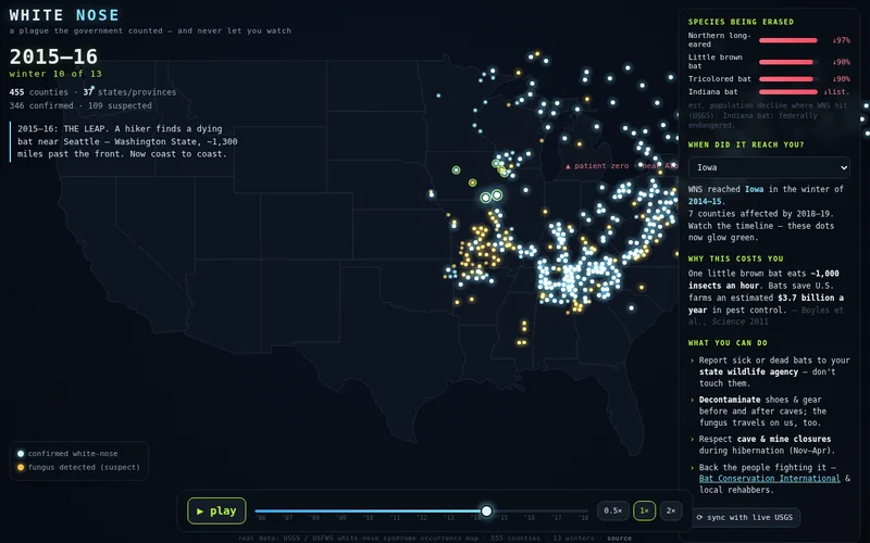
An animated map replays thirteen winters of white-nose syndrome from USGS county records, with the hardest-hit species and a per-state arrival date. You can pick your state to see when it reached you.
Notes
Hosted on a GitHub Pages project page; maker is identified by first name only (Substack 'Myles'). Maker doesn't name tools on the post.
Source checked 2026-10-16. Descriptions summarize the maker's own account, not independent testing.
Get one surprising agent build every morning.