ClaudeExplore itCreative & web experiences · Maps
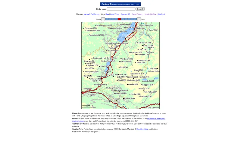
Browse OpenStreetMap drawn like a 1999 web map, then save it as a 216-colour GIF or giant poster
Cartopolis
Hacker News ·
A pan-and-zoom map of Switzerland rendered in the chunky web-safe style of late-90s map sites, with search, an aerial-photo view and permalinks. You can export the view as a real GIF or a re-rendered poster up to 4000 by 4000 pixels.
Notes
Coverage is Switzerland-centred. Takes a few seconds to draw the first tiles. The AI credit is on the maker's write-up (seriot.ch/drawing/cartopolis/), not on the map page itself.
Claude Code
Source checked 2026-10-16. Descriptions summarize the maker's own account, not independent testing.
Get one surprising agent build every morning.